Mexico states shape quiz overview
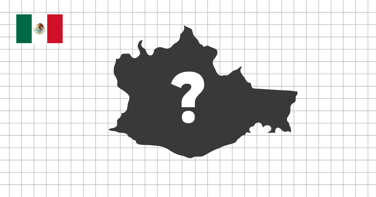
The Mexico states shape quiz challenges you to identify the country's 31 states and Mexico City from their outlines alone. Without the surrounding map, familiar locations become standalone silhouettes, so coastlines, proportions, border angles, and small irregular details matter.
Start with the most distinctive outlines
Baja California and Baja California Sur are strong starting points because each occupies part of a long, narrow peninsula. The states on the Yucatán Peninsula form another useful group: Campeche, Yucatán, and Quintana Roo have different profiles even though they sit close together on the full map.
Large northern states such as Sonora, Chihuahua, Coahuila, and Durango can look more similar when their positions and relative sizes are hidden. Compare their overall width, straight border sections, and the direction of their irregular edges instead of relying on a single corner.
Coastlines and compact central entities
Coastal outlines provide valuable clues. Veracruz follows a long curve on the Gulf of Mexico, while Guerrero, Oaxaca, and Chiapas create different silhouettes along the southern Pacific. Jalisco and Michoacán combine inland boundaries with shorter Pacific coastlines.
The compact center is a separate challenge. Morelos, Tlaxcala, the State of Mexico, and Mexico City have less expansive outlines than the large northern states. Because each quiz shape is presented on its own, learn the contour itself rather than assuming that the displayed size shows its true area.
Skills this quiz develops
- Recognize all Mexican federal entities without neighboring-state clues
- Compare peninsula, border, coastal, and inland outlines
- Notice proportions and boundary details instead of relying only on size
- Strengthen the connection between each state name and its geographic form
Combine shape and map practice
If two silhouettes are difficult to separate, return briefly to the Mexico states map and check their neighbors and coastlines. Then try the shape quiz again. Alternating between the complete map and isolated outlines builds a more durable visual memory than repeatedly guessing from one clue.