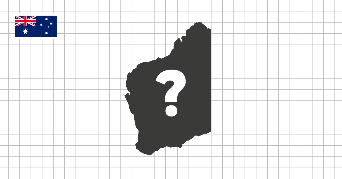
Australian states and territories shape quiz overview
The Australian States and Territories Shape Quiz asks you to identify Australia's states and territories from their outlines. The set is smaller than many subdivision quizzes, but each silhouette still tests a different skill: scale, coastline recognition, straight interior borders, and the ability to spot compact territories without the full map around them.
A short quiz with very different silhouettes
Australia has only a small number of first-level divisions, which makes the quiz easy to start but still useful for serious review. Western Australia, Queensland, South Australia, New South Wales, Victoria, Tasmania, the Northern Territory, and the Australian Capital Territory all have distinct roles in the overall map. When they are shown one at a time, the differences between large mainland states, compact territories, and island shapes become much clearer.
This makes the Australian set a good bridge between map practice and pure shape recognition. You can finish a round quickly, but the quiz still checks whether you know more than the names. It asks whether the outline itself is familiar enough to stand on its own.
Mainland states, territories, and Tasmania
A useful way to study the set is to separate the large mainland states from the smaller territories and Tasmania. Western Australia is broad and isolated on the west, Queensland has a long northeastern coastline, South Australia has a distinctive central position, and New South Wales and Victoria require closer comparison along the southeast.
The Northern Territory and Australian Capital Territory create a different challenge. The Northern Territory is much larger and easier to compare by overall shape, while the Australian Capital Territory is small and compact. Tasmania stands apart as an island, so its silhouette is usually easier to identify once you remember to include it as its own answer.
What to focus on while playing
- Recognize Australian states and territories as standalone silhouettes
- Compare large mainland shapes with compact territories and island outlines
- Notice straight interior borders, long coastlines, and southeast state shapes
- Use multiple-choice mode for quick review or typing mode for stronger recall
Why straight borders matter in Australia
Several Australian divisions include long straight borders, which can make the silhouettes feel simple at first. That simplicity can be misleading. Western Australia, South Australia, the Northern Territory, and Queensland all include strong straight edges, so proportions and the direction of each coastline become important clues.
The southeast is a different kind of problem. New South Wales, Victoria, and the Australian Capital Territory sit close together on the full map, but a silhouette quiz removes that context. To identify them consistently, pay attention to relative size, coastline shape, and whether the outline feels like a large state, a smaller coastal state, or a compact territory.
How to get the most from this quiz
Because the set is short, repeat rounds are especially effective. Try one round in multiple-choice mode to refresh the outlines, then use typing mode to check whether each name comes to mind without prompts. If you miss a state or territory, look at the full Australia map and connect the silhouette with its position before trying again.
The goal is not just to finish quickly. A good result means you can see a shape and immediately understand what kind of Australian division it is: a large western or northern area, a coastal eastern state, a compact territory, or the island state of Tasmania.