Canadian provinces and territories shape quiz overview
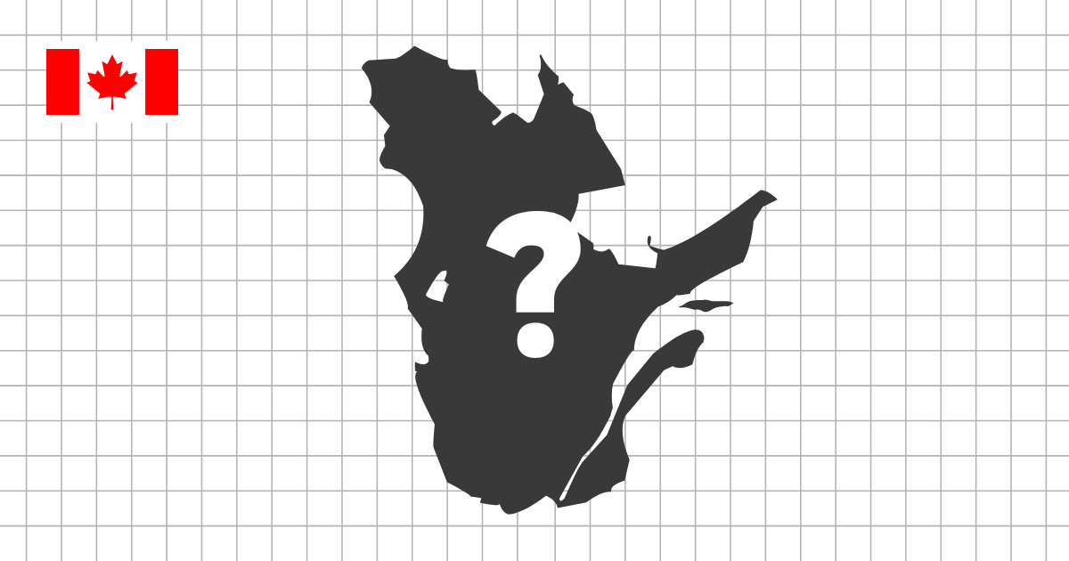
The Canadian Provinces and Territories Shape Quiz challenges you to identify Canada's 10 provinces and 3 territories from their silhouettes. Each question shows one outline on its own, so you have to recognize the province or territory by shape rather than by its position on a full map of Canada.
A shape quiz built around scale and contrast
Canada is different from many geography sets because its first-level divisions vary so much in size, latitude, and outline. The northern territories cover enormous areas, the prairie provinces have broad and often straight-edged forms, the Atlantic provinces are smaller and more coastal, and British Columbia has a complex western edge shaped by mountains and the Pacific coast.
That contrast makes this quiz especially useful. You are not just memorizing 13 names; you are learning how Canada's geography changes from the Arctic north to the Pacific west, the central plains, and the Atlantic east. The silhouette format makes those differences easier to notice because every area is shown without labels or neighboring regions.
Provinces, territories, and what to look for
Start by separating provinces from territories. Yukon, Northwest Territories, and Nunavut have large northern shapes that feel very different from the provinces farther south. Nunavut is especially recognizable because of its islands and broken Arctic coastline, while Yukon and Northwest Territories are easier to compare by their overall proportions and border angles.
Among the provinces, look for the prairie block of Alberta, Saskatchewan, and Manitoba, then compare the coastal and eastern shapes. British Columbia has a more irregular Pacific outline, Ontario and Quebec are large and complex, and the Atlantic provinces have compact silhouettes that require closer attention.
Skills this quiz develops
- Recognize Canada's provinces and territories as standalone outlines
- Compare very large northern territories with smaller southern and eastern provinces
- Notice coastlines, straight borders, island groups, and compact Atlantic shapes
- Practice quick recognition in multiple-choice mode or harder recall in typing mode
Common shape challenges in Canada
Some Canadian shapes are easy to recognize at first glance, but others are commonly confused. Alberta, Saskatchewan, and Manitoba can feel similar because they sit next to each other and include strong straight borders. Ontario and Quebec are both large and detailed, so it helps to focus on their overall direction, coastline, and the way each one connects to Hudson Bay, the Great Lakes, or the St. Lawrence region.
The Atlantic provinces are a different kind of challenge. Prince Edward Island is small and distinctive, but Nova Scotia, New Brunswick, and Newfoundland and Labrador require attention to coastlines, island shapes, and compact proportions. These smaller outlines reward careful observation more than speed.
How to study Canada by shape
A useful approach is to study Canada in three groups: the northern territories, the western and prairie provinces, and the eastern provinces. Learn the broad silhouettes first, then return to the smaller coastal shapes. If an outline feels unfamiliar, switch to the Canada provinces map quiz, study where it sits, and then come back to the silhouette version.
Because Canada has only 13 provinces and territories, it is a good set for moving from recognition to recall. Once multiple-choice mode feels comfortable, typing mode is a strong way to test whether the silhouette alone is enough to bring the name to mind.