Japanese prefecture shape quiz overview
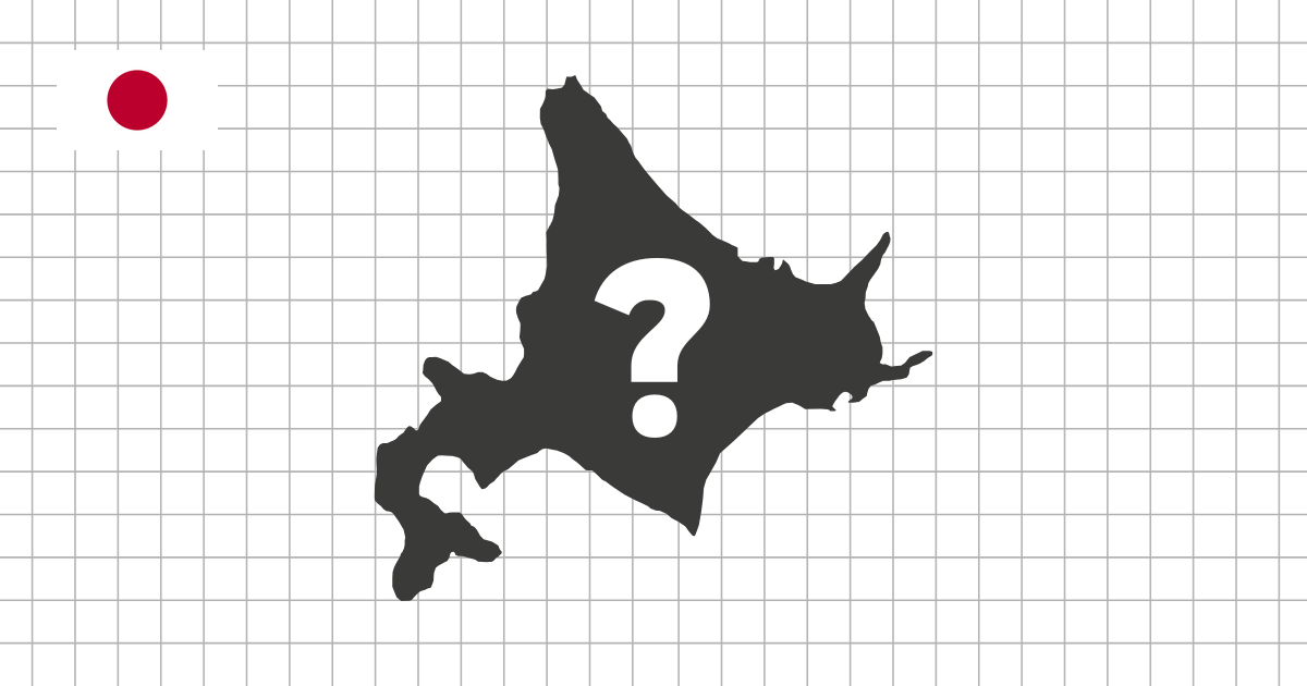
The Japanese Prefecture Shape Quiz asks you to identify all 47 prefectures from their silhouettes. Instead of choosing a prefecture on a labeled map, you see one outline at a time and decide which prefecture it represents. This makes the quiz a focused way to test whether you recognize the shape of each prefecture, not only its location in Japan.
Why Japan works well as a shape quiz
Japan is especially suited to outline practice because many prefectures have strong natural borders. Long coastlines, deep bays, peninsulas, island groups, and mountain ranges all create shapes that can be learned visually. At the same time, several inland and urban prefectures are compact or irregular enough that they require careful comparison.
Many learners first study Japanese prefectures by region, from Hokkaido and Tohoku down to Kyushu and Okinawa. That is useful for map order, but it can hide whether the prefecture outline itself is memorable. This shape quiz removes the surrounding map and makes the silhouette the main clue.
What this quiz helps you practice
- Recognize all 47 Japanese prefectures as standalone silhouettes
- Compare coastal prefectures, inland borders, islands, peninsulas, and compact urban prefectures
- Build recall without relying on region labels, neighboring prefectures, capitals, or map position
- Use multiple-choice mode for quick review or typing mode for a more difficult challenge
Coastal, island, and peninsula clues
Start with prefectures that have strong coastline clues. Hokkaido is large and unmistakable, while Aomori, Chiba, Ishikawa, Wakayama, Nagasaki, Kagoshima, and Okinawa all have peninsulas, bays, island chains, or long coastal edges that make the outline more distinctive. These shapes can serve as anchors before you move to subtler prefectures.
Inland and compact prefectures
Inland prefectures require a different kind of attention. Nara, Shiga, Yamanashi, Tochigi, Gunma, Saitama, and other landlocked or near-landlocked prefectures do not offer obvious coastline hints. For these, focus on proportions, border angles, and whether the outline feels narrow, rounded, vertical, compact, or stretched across a mountain region.
A practical way to study all 47 prefectures
If you are new to prefecture silhouettes, do not treat every outline as equally difficult. Look first for islands, then peninsulas, then long coastlines, and finally the smaller border details. Multiple-choice mode is useful at this stage because it lets you compare likely answers and learn which details actually separate similar shapes.
Regional grouping also helps, but each region teaches a different skill. Hokkaido and Tohoku include broad northern shapes, Kanto has compact urban prefectures, Chubu mixes mountain borders with coastal variation, Kansai combines inland and coastal outlines, and Kyushu-Okinawa emphasizes peninsulas and island chains. Working through the country this way gives the 47-prefecture set a clear structure.
How to use this quiz with map practice
When a silhouette is difficult, return to the Japan prefecture map quiz and study where that prefecture sits, which prefectures surround it, and which part of its outline is most distinctive. Then come back to the shape quiz and try to identify it without the full map. Moving between map position and shape recognition helps you remember prefectures as places with both location and form.