How to recognize countries without labels
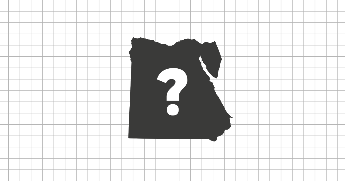
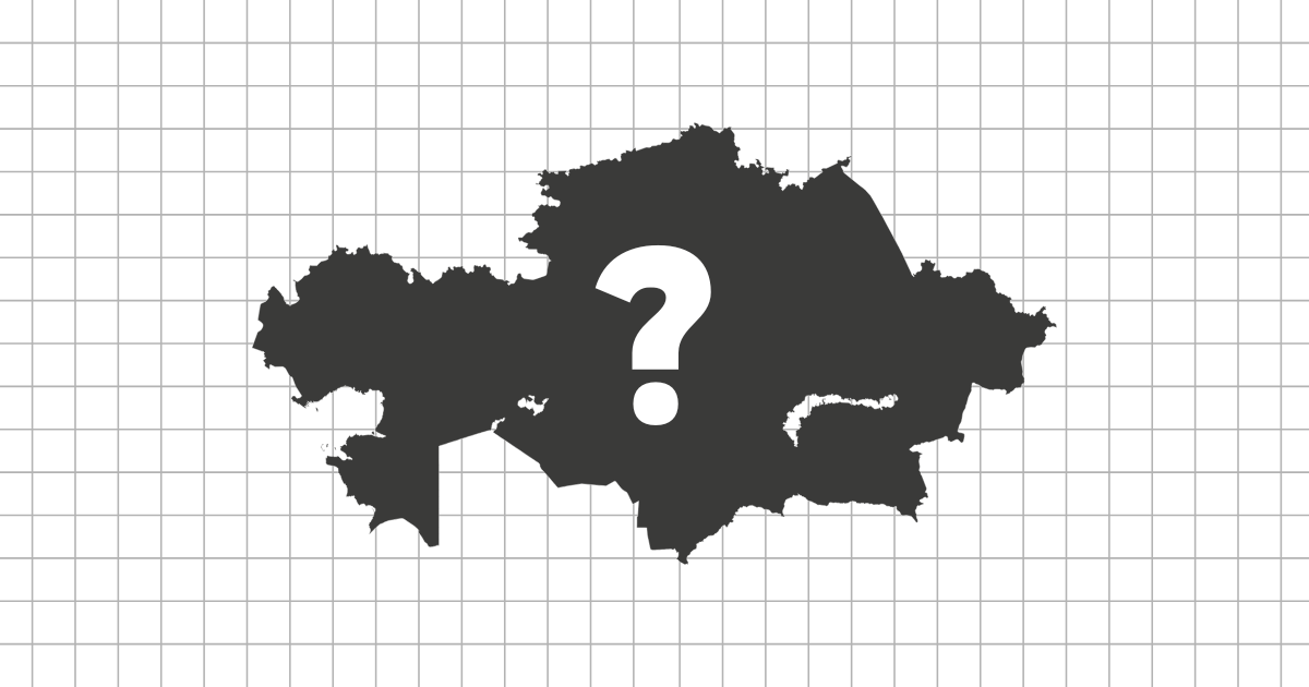
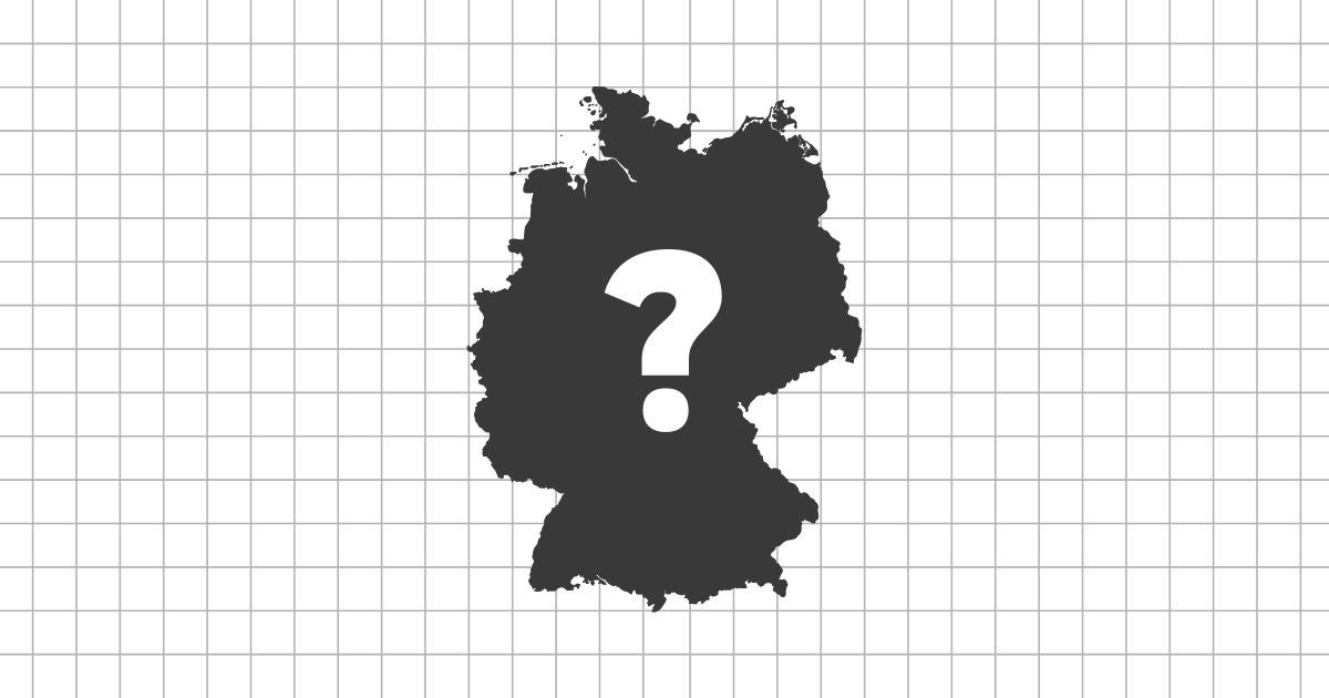
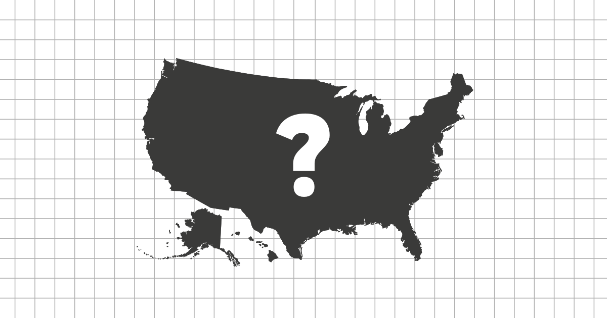
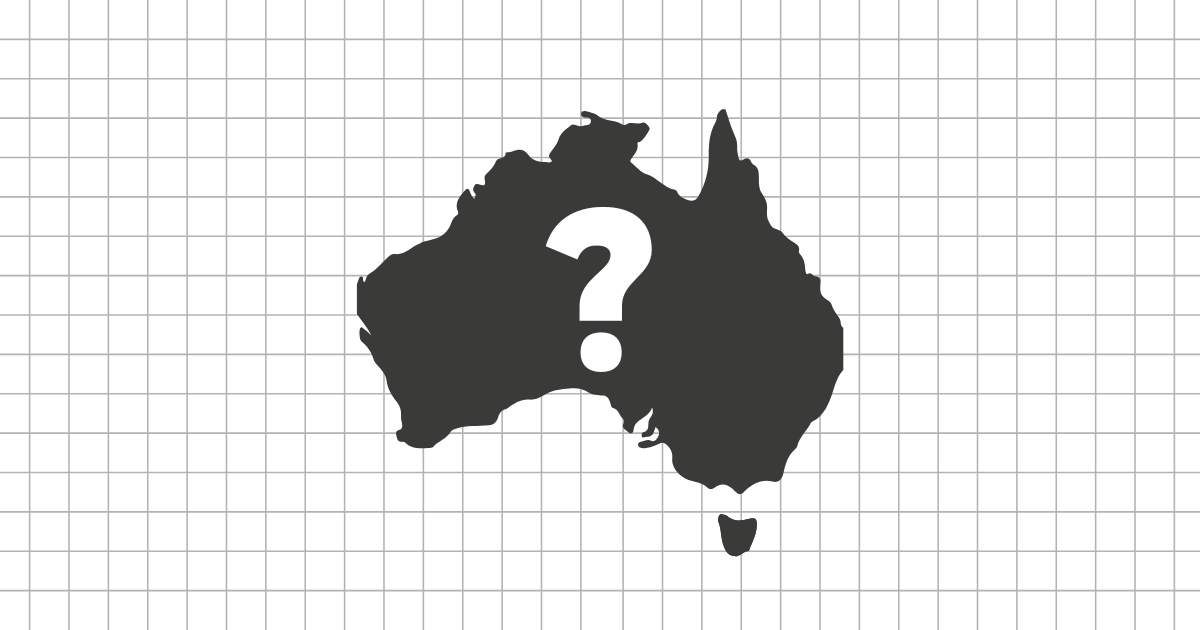
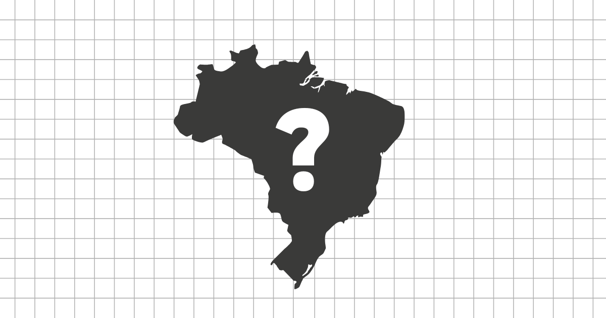
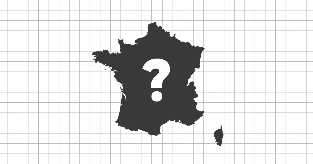
A world shape quiz is useful because it removes the clues people usually lean on: flag colors, capital names, neighboring labels, and map position. A silhouette forces you to ask what actually makes a country recognizable. Is it a long coastline, a narrow waist, a pair of islands, a sharp border angle, or the balance between height and width?
The world set deliberately mixes different kinds of shapes. Canada, Chile, Japan, Italy, Madagascar, and South Africa are not recognized in the same way. Some countries are obvious from coastline or island structure, while others require you to compare proportions and remember where borders create a distinctive outline.
What to study first
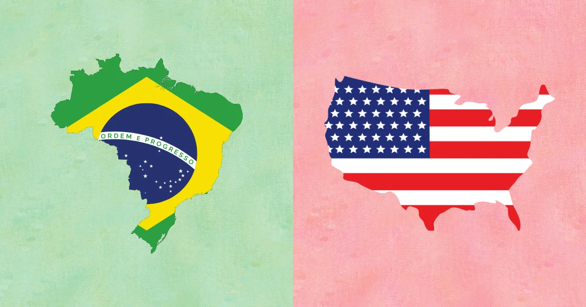
Start with the largest and most distinctive outlines, then move into countries that are easy to confuse. Russia, China, India, Brazil, Australia, and the United States build a foundation because their shapes are strongly tied to world map memory. After that, practice narrow countries such as Chile, island countries such as New Zealand, and countries with complex coastlines such as Greece or Norway.
- Look for one decisive feature before reading the answer choices.
- Separate island countries from mainland countries first.
- Use typing mode only after the shape feels familiar in 4-choice mode.
Why this page is not just a map quiz
A map quiz asks you to place a country in context. A shape quiz asks whether the country is visually stored in memory at all. That difference matters: a player might find Vietnam on a map but fail to recognize its long, curved silhouette when the surrounding countries disappear.
Practicing country shapes supports map learning, but it also builds a separate visual skill. It helps with remembering borders, recognizing regions faster, and making stronger associations between country names and physical geography.
Fair play and excluded shapes
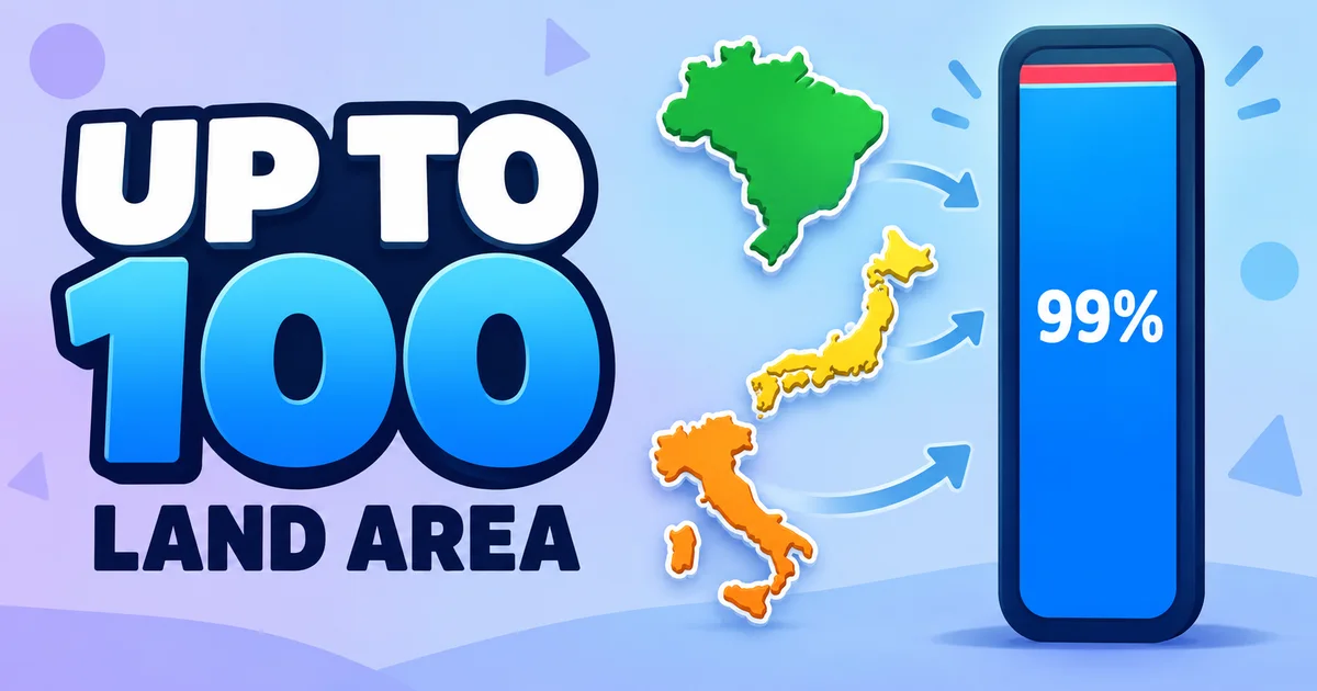
Some countries and territories are too small, scattered, or visually unclear for a fair silhouette challenge, especially on mobile screens. The game filters the list to entries with readable shapes so the quiz tests geography knowledge rather than eyesight.
Video version on YouTube
Prefer to take this quiz in video format? Watch below!