More than three large countries
North American shape practice is not just Canada, the United States, and Mexico. The region also includes Central America and the Caribbean, where narrow land bridges and island silhouettes create a very different kind of challenge.
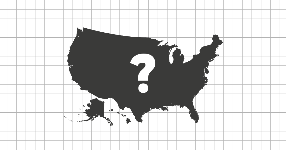
Canada and the United States have large, familiar outlines. Mexico adds a strong tapering shape. After that, countries such as Guatemala, Honduras, Nicaragua, Costa Rica, Panama, Cuba, Haiti, the Dominican Republic, and Jamaica require closer attention to coastlines and island proportions.
Mainland clues versus island clues
The mainland countries are often solved by width, coastline direction, and how narrow the country becomes. Caribbean countries are more about island shape, length, and whether the silhouette is compact or stretched.
- Large mainland anchors: Canada, United States, Mexico.
- Central American chain: Guatemala, Honduras, Nicaragua, Costa Rica, Panama.
- Island practice: Cuba, Jamaica, Haiti, Dominican Republic, Bahamas.
Why the Caribbean changes the quiz
Island countries can be harder on a silhouette quiz because they lose much of the regional context a map normally provides. Cuba is distinctive because of its long shape, but smaller islands need careful comparison and fair image sizing.
This is why readable silhouettes matter. The game focuses on shapes that can be recognized at quiz size rather than forcing tiny or scattered outlines into unfair questions.
How to improve
Practice the mainland first, then move south through Central America, and finally review the Caribbean. That order gives you a geographic story instead of a random list of outlines.