Compare country sizes
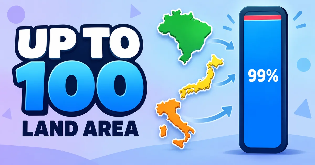
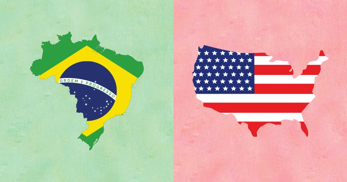
This country size comparison game helps you learn world geography by comparing land area visually. Each round shows two country silhouettes, and your goal is to choose the bigger country before the timer runs out. The game is designed for quick repeated practice: instead of memorizing a list of numbers, you build a sense of scale by seeing countries side by side and making a decision. Very small or unclear silhouettes are excluded so the comparison stays fair and readable, especially on mobile screens.
How the country comparison game works
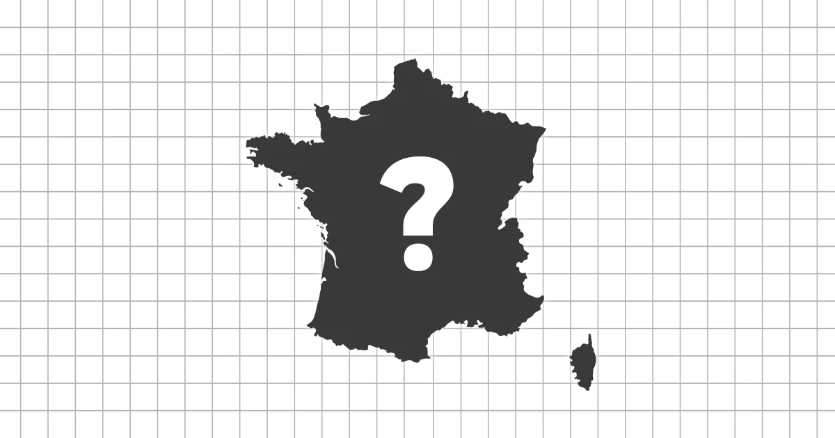
Each question presents two countries side by side. Look at the silhouettes, compare their relative size, and select the country with the bigger land area. The cards also show the country flag and name, so the game connects shape recognition, country names, and area knowledge in one short round.
You can choose 10, 30, or 50 questions depending on how long you want to play. The timer can be enabled for quick recall practice or turned off when you want to study more carefully. After each answer, the game gives immediate feedback so you can learn from close comparisons and build a better sense of scale over time.
Why comparing country size helps
World maps can make country size hard to judge, especially when projections stretch areas near the poles or shrink familiar regions in your memory. Direct comparison helps you form a more practical understanding of relative land area. You learn that some countries are much bigger than they appear, while others are smaller than their visual prominence on a map might suggest.
- Build a stronger sense of world country scale
- Connect country shapes with relative land area
- Improve recall through short repeated comparisons
- Support learning for map, flag, and capital games
Difficulty levels
Difficulty is based on both familiarity and the size gap between the two countries. Easy rounds focus on well-known countries with clear area differences, which makes them useful for learning the basic scale of large and small countries. Medium and Hard add less familiar countries and closer comparisons, while Expert includes pairs where the answer may require a stronger sense of relative size. Mixed mode starts with easier comparisons and gradually introduces more challenging rounds, making it a good default for practice, review, and score improvement.
Tips for better scores
Start with Easy or Mixed mode if you are still building your world geography knowledge. First look for obvious scale clues, such as whether one country spans a continent-sized region or whether both countries are compact island or coastal states. When the choices feel close, think about the region, latitude, and how map projections may have shaped your intuition. Replaying shorter rounds is often the fastest way to remember surprising comparisons.
Video version on YouTube
Prefer to take this quiz in video format? Watch below!