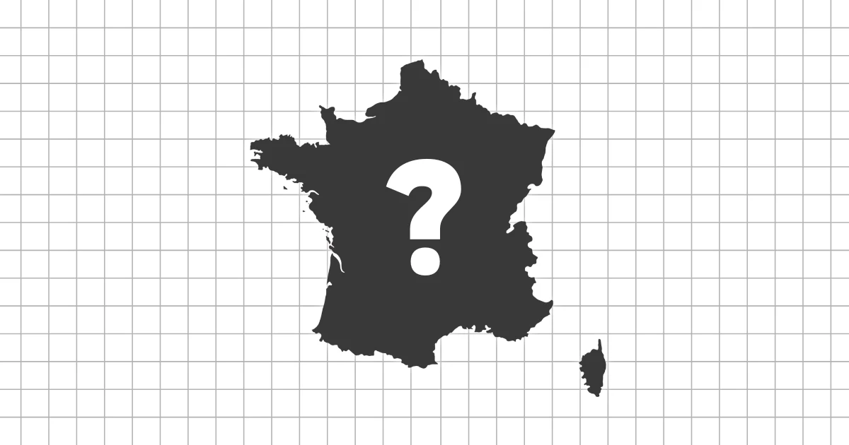
Intermediate silhouette overview
"Guess the Country by Its Shape: Intermediate" goes beyond the most famous countries and introduces nations you have seen on maps but may not identify instantly. With only the outline as a clue, this quiz focuses less on memorization and more on spatial reasoning.
Unlike the beginner level, this quiz asks you to pay attention to coastlines, peninsulas, and surrounding geography. The goal is to see the world map more three-dimensionally, in terms of regions and spatial relationships.
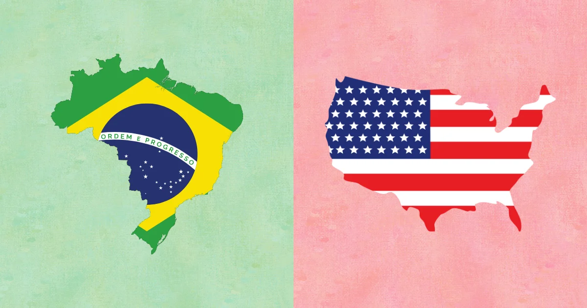
Why region-first thinking works
At this level, many outlines are too similar to identify instantly. Guessing the region first cuts the possibilities down and makes shape details meaningful.
Think of the outline as a clue, not an answer. The region narrows the map, then the shape confirms it.
Three shape-reading skills
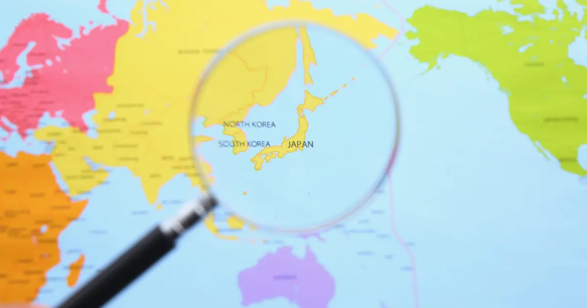
Start by guessing the region, not the country
At this level, many countries share similar outlines. Instead of identifying the country immediately, first estimate the continent, whether it borders the sea, and whether it is an island or landlocked. Narrowing down the region reduces the options fast.
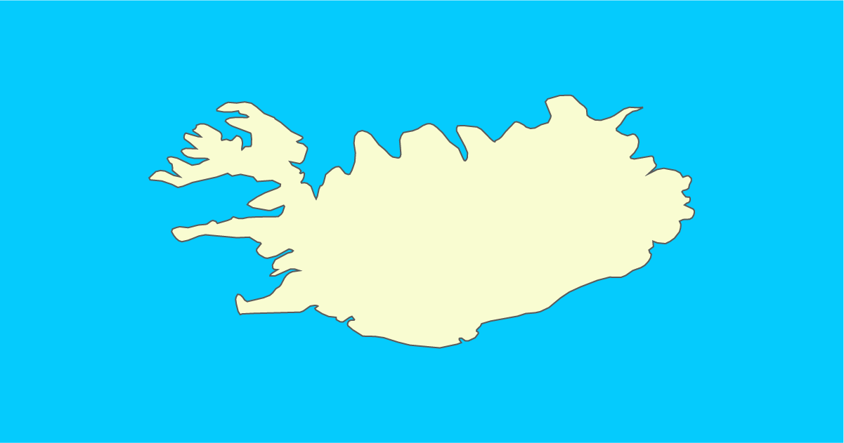
Look for protrusions and narrow points
Strong visual clues often come from peninsulas, bays, indentations, or narrow "waists" in a country's shape. Spotting one distinctive feature improves accuracy.
When shapes look similar, focus on one key difference
Comparing every detail leads to confusion. Instead, decide on a single factor: smooth vs jagged coastline, vertical vs horizontal shape, or whether the country widens north or south. One criterion keeps judgment consistent.
How to use this page
- First, choose based on continent or region (Europe, Southeast Asia, Middle East)
- Next, identify one clear feature such as a peninsula, bay, or indentation
- After reading the explanation, note the one detail that makes the shape recognizable
- On a second attempt, retry only the questions you missed
At the intermediate level, improvement comes from method. This stage is about reasoning from shapes, not just memorizing them.
A quick note on map scale
Outlines can look different depending on scale and zoom. Do not overvalue tiny coastal wiggles. Focus on the big features: direction, balance, and one standout peninsula or bay.
Tips for mastering outlines
Use descriptive """shape nicknames"""
Labels like "boot-shaped," "long S-curve," or "giant peninsula" make outlines easier to remember. At this level, the shape description often comes before the country name.
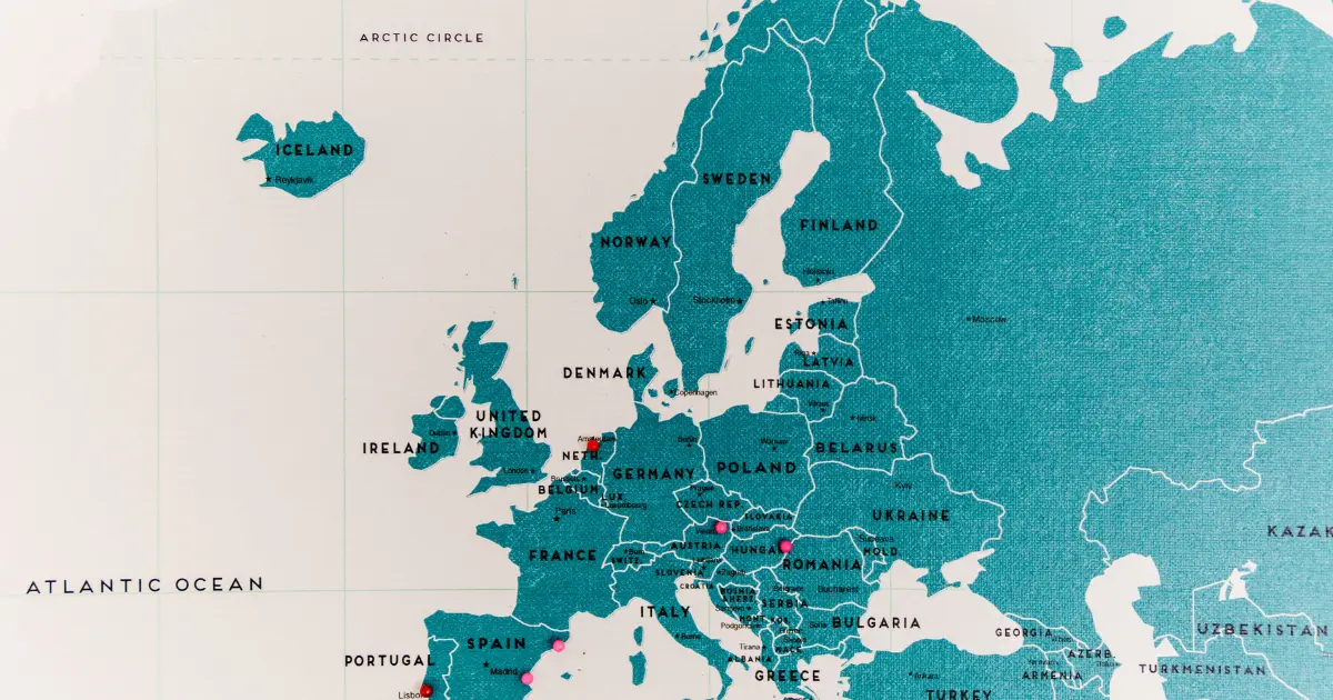
Associate locations with surrounding seas
Seas are often easier to remember than neighboring countries. Mediterranean, Black Sea, Red Sea, Arabian Sea: linking a silhouette to water helps anchor it.
When unsure, judge by overall balance
If details are not helping, look at proportions. Is the country wider in the north or south? Does it bulge eastward or taper westward? This sense of "center of gravity" is reliable at this level.
After finishing this set
By the end of this quiz, country shapes should feel less like symbols and more like parts of a connected geographic layout. Seeing an outline may bring nearby seas or continental edges to mind.
The next step focuses even more on complex coastlines and borders. Think of this as the transition from recognizing shapes to actively reasoning with them.