Silhouette quiz overview
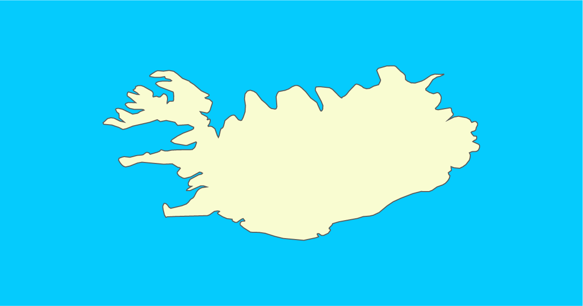
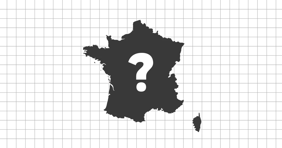
"Guess the Country by Silhouette: World Edition" is a visual geography quiz where you identify countries using only their outlines. No names, flags, or locations.
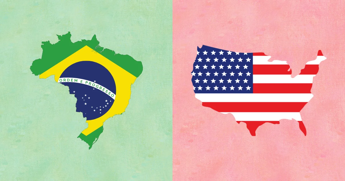
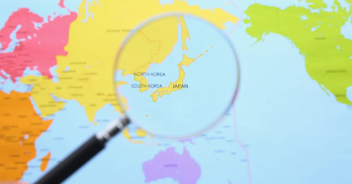
Familiar countries like Japan or Italy may feel easy at first, but without labels, even well-known silhouettes can become tricky. This turns the world map into a shape puzzle.
Why shapes matter
Country outlines are the scaffolding of map literacy. If you can recognize shapes without labels, you are not just recalling facts, you are building a spatial map in your head.
This skill transfers to travel planning, news reading, and understanding regional relationships on a map.
Why silhouettes teach geography
Shapes reveal hidden patterns
Silhouettes highlight coastlines, peninsulas, and borders that are easy to overlook on labeled maps. Seeing only the outline trains your eye to recognize structural differences.
Recognition over memorization
This quiz does not reward memorizing facts. It strengthens spatial awareness, an essential geography skill.
Familiar yet deceptive
Many participants realize that countries they "know" become harder to identify without context. That moment is where learning happens.
How to approach the questions
- Trust your first impression before overthinking
- Look for distinctive features like peninsulas or island chains
- Read the explanation to connect shape with location
- Retry questions you missed to reinforce recognition
The goal is not speed, but building a reliable sense of global shapes.
How this set was built
The beginner set uses large, iconic shapes with clear visual signatures. The idea is to build confidence and anchor points before you deal with more ambiguous outlines.
Once those anchors are stable, smaller or more complex shapes become much easier to place.
Common shape families
Some silhouettes belong to obvious shape families: long peninsulas, compact islands, or wide, block-like interiors. Naming these families makes outlines easier to sort in your head.
For example, the "boot," the "long arc," and the "triangle" are not answers, but they are strong stepping stones to the correct country.
Orientation before detail
Beginners often zoom in on tiny coastal wiggles. A better first step is orientation: is the country tall or wide? Does it stretch east-west or north-south? That single judgment can eliminate most wrong choices.
Use small details only after the orientation feels right.
Build a simple recall loop
After each question, say the country name and one shape phrase out loud. This turns a visual into a verbal cue, which is easier to recall later.
A short loop like this is more effective than replaying the same question multiple times without reflection.
What you gain after finishing
After finishing this quiz, maps feel clearer and more organized. Country shapes start standing out naturally instead of blending together.
This quiz is a foundation for more advanced silhouette challenges and stronger geographic intuition.