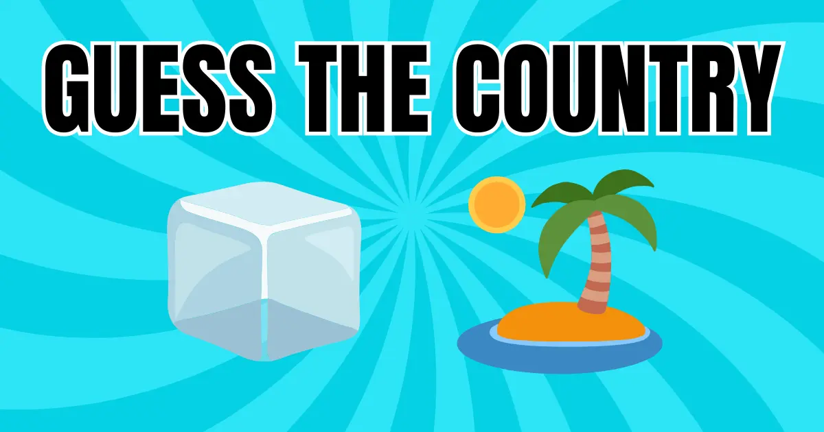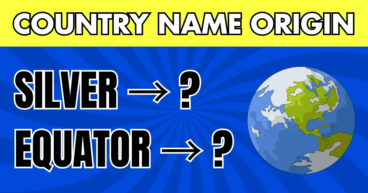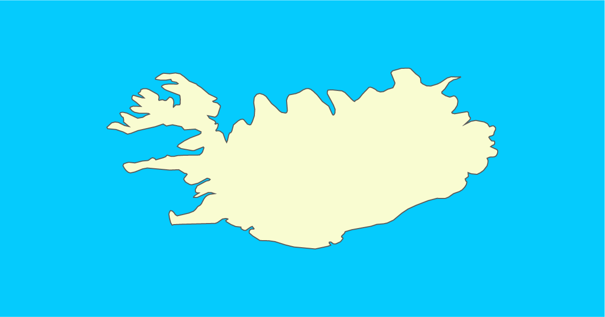
Extreme Island Silhouettes Overview
"Guess the Country by Silhouette: Extreme Island Edition" is a high-difficulty geography quiz that challenges you to identify island nations using only their outlines. With no land borders or continental shapes to rely on, every decision depends on island size, spacing, and layout.
Island nations are often overlooked on maps, but as silhouettes each reveals a unique profile. This quiz focuses on rediscovering those subtle shapes.
Why islands behave differently on maps
Island outlines are often small and separated by water, which removes the context you get on a continental map. That makes size and spacing more important than coastline detail.
It also means you must think in terms of island chains and regional clusters rather than single landmasses.
Why island outlines are hard
Scale is hard to judge
Island countries often look smaller than they are. With few reference points, it is easy to misjudge size and confuse them.
Island arrangement matters more than shape
Some island nations are a single landmass, while others are spread across hundreds of islands. The pattern, clustered or scattered, is often the biggest clue.
No continental context
Island silhouettes provide no surrounding borders for hints. You must rely on shape and spatial memory, making this quiz uniquely demanding.
How to use this page
- First, check whether the country consists of one island or many
- Look at spacing and alignment between islands
- Read the explanation and link the shape to its ocean region
- Retry the quiz while comparing similar island nations
The goal is not just getting the answer right, but understanding why the silhouette confused you in the first place.
How the questions are chosen
The set includes both single-island nations and multi-island states so you learn to read different layouts. Some are compact clusters, others stretch across long arcs.
The mix is designed to teach pattern recognition across ocean regions rather than test one isolated fact.
Tips for island outlines
Group by ocean region
Island nations often share characteristics based on where they are located. Classifying them broadly, Pacific, Caribbean, Indian Ocean, helps narrow possibilities.
Describe the layout in words
Putting the island arrangement into words makes it easier to remember than relying on visuals alone.
Don""™t underestimate small shapes
Even tiny silhouettes contain valuable clues. With fewer distractions, subtle differences become more noticeable.
After you finish
If you can confidently identify these island silhouettes, your spatial geography skills are well above average. You will likely notice shapes more clearly in other silhouette quizzes as well.
This island edition acts as a final challenge. Returning to earlier quizzes afterward will feel noticeably easier.