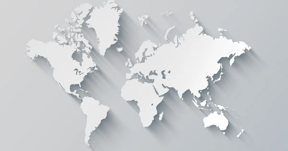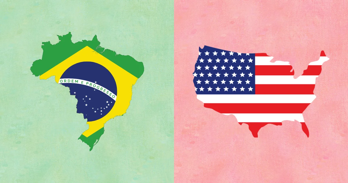
Complex borders overview
"Guess the Country by Its Shape: Complex Borders" is a high-difficulty quiz for geography enthusiasts. It focuses on countries with highly irregular coastlines and intricate borders, where the outline alone often gives no immediate clue.
This quiz challenges you to think about why a country looks the way it does. Deep bays carved by the sea and borders shaped by history reveal where geography and history intersect.
What counts as a \"complex\" shape in this quiz
Complexity here usually means high coastline detail, sharp inlets, and borders that bend in multiple directions. These shapes are less about symmetry and more about small, uneven features.
The quiz rewards you for finding one anchor feature and building outward from there.
Three ways to read complex silhouettes
Examine the level of coastline detail
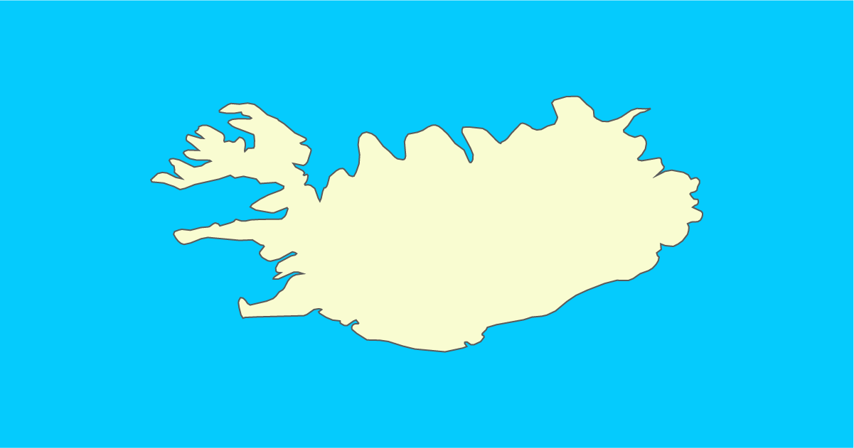
Many complex-shaped countries have extremely detailed coastlines. Look for sharply cut bays like fjords or chains of narrow peninsulas. Deciding whether the coastline is smooth or jagged can narrow the possibilities fast.
Consider why the borders bend unnaturally
Non-straight borders are often influenced by mountains, rivers, or historical divisions. Recognizing the difference between naturally formed outlines and drawn borders is a key skill.
Memorize parts, not the entire shape
Trying to remember a complex silhouette as a whole is overwhelming. Instead, focus on one distinctive bay or peninsula. Once that anchor point is clear, the rest often falls into place.
How to use this page
- First, check whether the country is coastal or landlocked
- Then observe how jagged the coastline or borders are
- While reading the explanation, remember just one distinctive feature
- On later attempts, practice spotting that feature more quickly
Speed is not the goal here; observation is. By paying attention to where you look when making a decision, subtle differences become easier to recognize.
How to build a reliable memory
For complex outlines, a single image is too much. Convert the outline into two or three phrases: \"long fjord coast,\" \"narrow waist,\" \"bay on the northwest.\" Phrases stick when pictures do not.
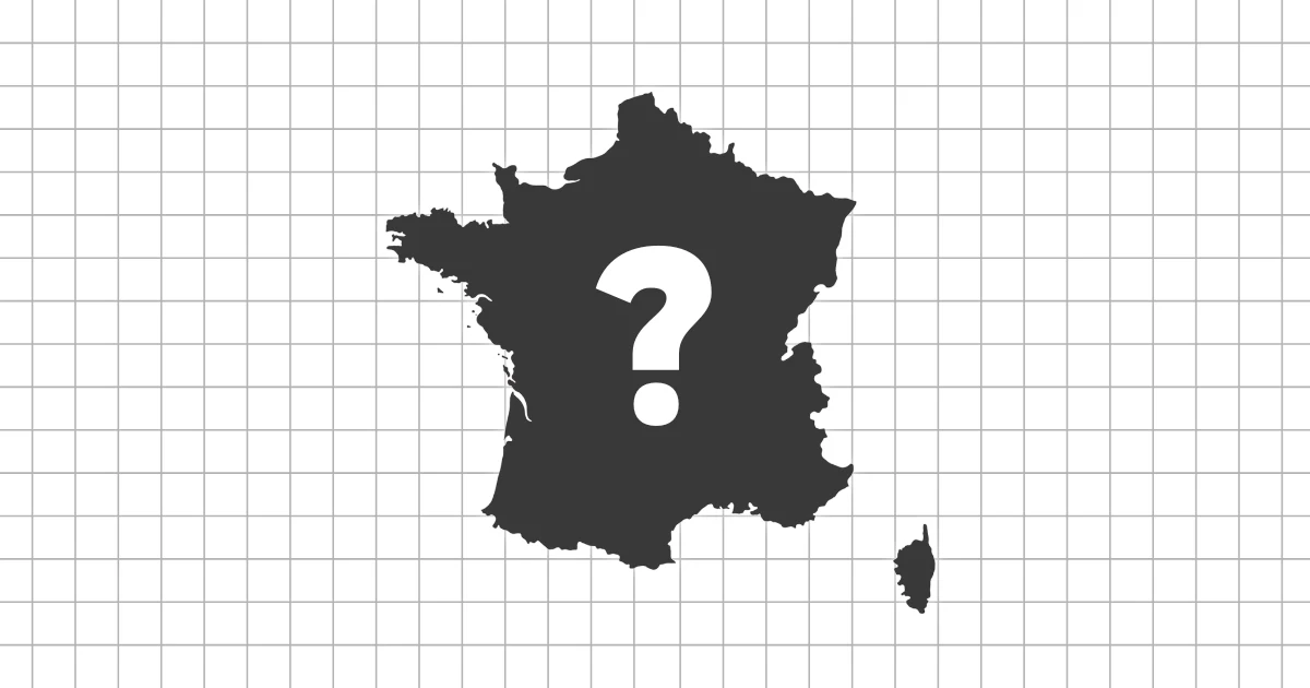
Why borders look complex
The influence of natural geography
Mountain ranges and rivers often serve as borders, resulting in irregular and winding lines on the map. Imagining the terrain helps make sense of these shapes.
Historical divisions and reunifications
Wars, treaties, and colonial boundaries have all contributed to the complexity of modern borders. Each outline represents a long historical process. This quiz invites you to look beyond the map and consider the history behind it.
More coastline means more complexity
Peninsula nations, archipelagic countries, and those with enclosed seas naturally contain more visual information. While this offers more clues, it can feel overwhelming without practice.
After you finish
By the time you complete this high-level quiz, your eye for geographic detail should be noticeably sharper. Bays and border irregularities that once went unnoticed will start to stand out.
For an even greater challenge, try the island nation quiz, where size and island placement are often the only clues. The observation skills gained here transfer directly to tougher silhouette puzzles.