What makes African country shapes different
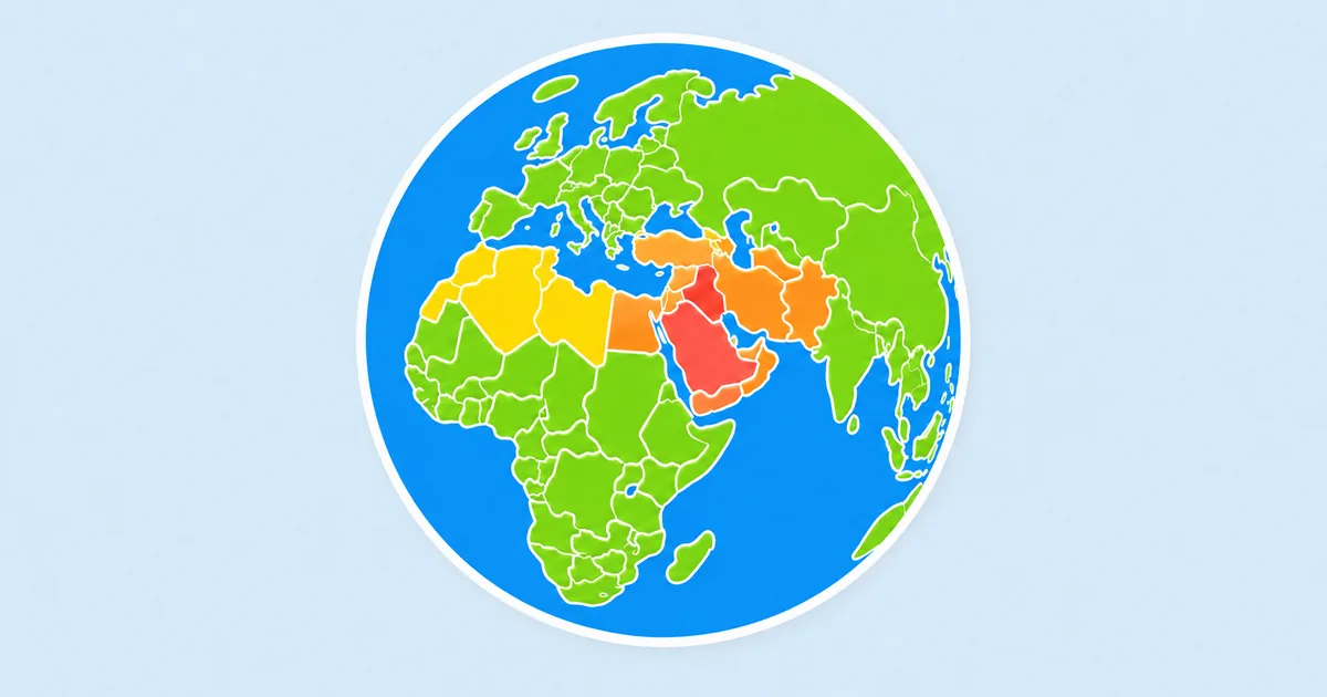
African country silhouettes often depend on borders more than dramatic coastlines. Many countries have broad inland shapes, straight colonial-era boundaries, or compact outlines that become easier to recognize only after repeated comparison.
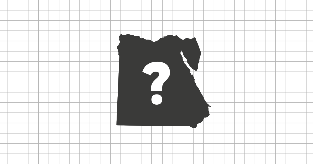
Good examples are easy to separate once you know what to look for. Egypt is anchored by its northeast corner and Sinai, Somalia by the Horn of Africa, South Africa by its southern position and coastal sweep, and Madagascar by its large island shape. Landlocked countries such as Mali, Niger, Chad, and Zambia require a different kind of border memory.
Common pairs and clusters to practice
West Africa is the hardest area for many players because several countries are small, coastal, or tightly packed. Ghana, Togo, Benin, and Ivory Coast need careful attention to width, coastline, and neighboring border angles. In the Sahel, Mali, Niger, and Chad are larger but can still blur together if you only remember their location.
- Horn of Africa: Somalia, Eritrea, Djibouti, and Ethiopia.
- Southern Africa: Namibia, Botswana, Zimbabwe, Zambia, and South Africa.
- West African coast: Senegal through Nigeria, where many outlines are compact.
A good learning route
Begin with highly distinctive shapes such as Madagascar, Somalia, Egypt, South Africa, and Morocco. Then move to large inland countries like Algeria, Libya, Chad, Niger, Mali, and the Democratic Republic of the Congo. Leave the smaller coastal countries for later, because they reward close comparison more than instant recognition.
In timed rounds, do not try to read every border. Decide whether the shape is coastal, inland, island, or horn-like, then narrow the options from there.
Why African shape practice helps
Africa is often studied through regional names or capitals, but silhouettes reveal a different pattern: coast access, inland size, long borders, and the contrast between island and mainland countries. That makes the African Country Shape Quiz a strong companion to map and flag practice.