US state shape quiz overview
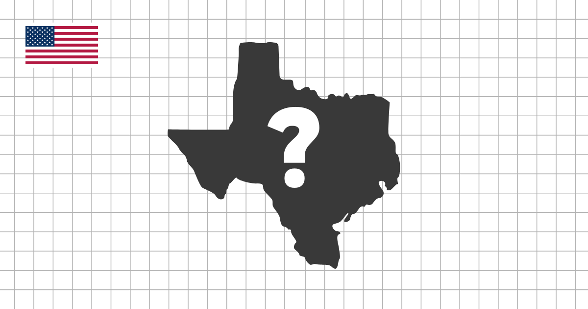
The US State Shape Quiz asks you to identify all 50 states from their silhouettes. Instead of reading labels or using a full map, you look at one state outline at a time and decide which state it represents. This makes the quiz useful for testing whether you recognize the shape itself, not only where the state sits on a map.
Why state outlines are worth practicing
Many US states are easy to find when the surrounding map is visible, but become harder when the borders, neighbors, and regional context disappear. A shape quiz isolates that skill. It helps you connect each state name with a visual outline, so Alaska, Florida, Texas, California, Michigan, Maine, and other distinctive profiles become faster to recognize from memory.
The challenge is different from a standard US states map quiz. A map quiz trains location and neighboring relationships, while a shape quiz trains visual recognition. Using both together gives you a stronger understanding of United States geography than memorizing a list of names alone.
What you will practice
- Recognize all 50 US states as standalone silhouettes
- Compare coastlines, straight borders, panhandles, peninsulas, and compact inland shapes
- Build recall without relying on capitals, labels, neighboring states, or map position
- Choose multiple-choice mode for quick recognition or typing mode for a harder challenge
Patterns to notice in US state shapes
Start by separating the most distinctive outlines from the states that need closer comparison. Coastal and island shapes such as Florida, California, Hawaii, Alaska, and Maine have strong visual clues. States with long straight borders, such as Colorado, Wyoming, Kansas, and Nebraska, require more attention to proportions and nearby alternatives.
Panhandles are another useful pattern. Oklahoma, Texas, Florida, and Idaho each have an extension that changes the overall silhouette. In the Great Lakes region, Michigan is especially recognizable because its shape is split into two major parts, while neighboring states can be easier to confuse if you rely only on region.
Study tips for better results
If you are new to state shapes, begin with multiple-choice mode and focus on eliminating wrong answers. Look first for coastline, islands, sharp corners, long narrow sections, and whether the state is mostly rectangular or irregular. Once the easier states feel automatic, switch to typing mode to test whether you can recall the name without prompts.
It also helps to group states by region. Practice the West for large shapes and straight borders, the Northeast for small compact states, the South for coastlines and panhandles, and the Midwest for similar inland outlines. Reviewing one region at a time makes the full set of 50 states less random.
How to use this quiz with map practice
When a silhouette is difficult, return to the US states map quiz and study where that state sits, which states border it, and what part of the outline is most distinctive. Then come back to the shape quiz and try to recognize the same state without the map. Moving between position practice and silhouette practice turns state geography into a visual memory, not just a memorized list.
Video version on YouTube
Prefer to take this quiz in video format? Watch below!