French region shape quiz overview
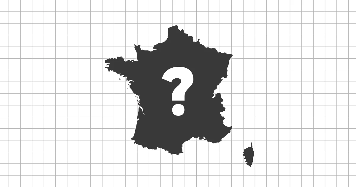
The French Region Shape Quiz asks you to identify the regions of metropolitan France from their silhouettes. Each question shows one regional outline on its own, so the challenge is to recognize the region by shape rather than by reading labels or using its position on a full map.
Modern regions with broad, varied outlines
France's current regional map is built around larger regions than many older learners remember. Several regions were merged in the 2016 reform, which means the shapes can feel broad, composite, and less familiar than traditional historical provinces or former administrative regions. A shape quiz is useful because it makes you look at the modern outline directly.
The set includes coastal regions, inland regions, border regions, and Corsica as a distinct island region. This mix gives the quiz a different feel from a simple location exercise. You need to notice whether an outline is shaped by the Atlantic, the Mediterranean, the Alps, the Pyrenees, the Rhine border, or the compact center of the country.
Coastlines, borders, and inland regions
Coastal regions are often the easiest place to start. Brittany has a strong peninsula shape, Normandy and Hauts-de-France face the English Channel, Provence-Alpes-Cote d'Azur follows the Mediterranean coast, and Corsica stands apart as an island. These outlines give you clear visual anchors before moving to more subtle inland regions.
Inland and border regions require closer comparison. Auvergne-Rhone-Alpes, Bourgogne-Franche-Comte, Grand Est, Centre-Val de Loire, and Ile-de-France do not all have obvious coastline clues. For these, look at overall proportions, border angles, whether the region stretches east or west, and how compact the silhouette feels.
What this quiz helps you practice
- Recognize the regions of metropolitan France as standalone silhouettes
- Compare Atlantic, Mediterranean, island, inland, and border-region shapes
- Learn the modern regional map without relying on labels or neighboring regions
- Use multiple-choice mode for fast review or typing mode for deeper recall
Regions that are easy to confuse
Some French regions are distinctive immediately, but others are easy to mix up. Nouvelle-Aquitaine and Occitanie are both large southern regions, yet they face different coastlines and have different overall profiles. Grand Est and Bourgogne-Franche-Comte sit in the east and can require attention to border direction and shape balance.
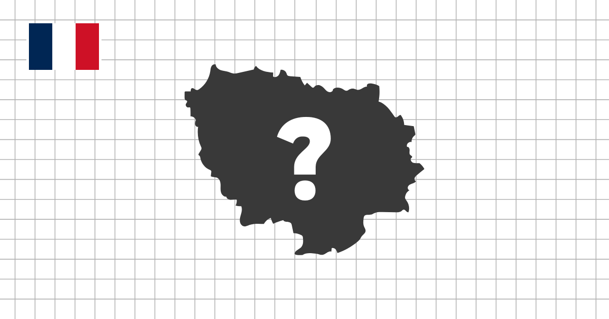
Smaller or more compact regions also need care. Ile-de-France is central and compact, while Pays de la Loire and Centre-Val de Loire can be confused if you only think in terms of name. In a silhouette quiz, the outline becomes the main evidence, so it helps to compare neighboring or similarly sized regions together.
How to study French regions by shape
A practical approach is to learn the most distinctive outlines first: Brittany, Corsica, Provence-Alpes-Cote d'Azur, Hauts-de-France, and Normandy. Then move to the large merged regions and the compact inland regions. This order gives you anchors before you start comparing more similar silhouettes.
If a region is difficult, return to the France regions map quiz and study where it sits in relation to the coast, borders, and central France. Then come back to the shape quiz and try to recognize the same region without the full map. This helps connect the modern French regional map with visual outline memory.