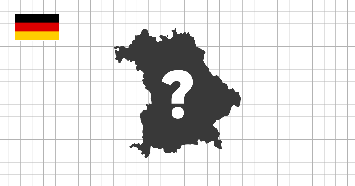
German state shape quiz overview
The German State Shape Quiz asks you to identify Germany's 16 federal states from their silhouettes. These states are known in German as Bundeslaender, and their outlines range from compact city-states to large northern and southern states with more detailed borders.
A compact country with many close borders
Germany is a different kind of shape challenge because the map is compact and the federal states are closely packed. There are no huge empty areas to separate the answers, and several states share dense border regions. A silhouette quiz removes the usual map context, so you have to recognize each state by its outline rather than by its position among neighbors.
This makes the quiz useful after you already know the basic Germany map. It checks whether names such as Bavaria, Saxony, Hesse, Lower Saxony, Schleswig-Holstein, Saarland, and Thuringia are connected to visual shapes in your memory, not just to approximate locations.
City-states and larger federal states
One of the most important patterns in Germany is the contrast between city-states and larger territorial states. Berlin, Hamburg, and Bremen are small, compact, and easy to overlook if you are thinking only about large outlines. In a shape quiz, they require a different kind of attention because their silhouettes are much smaller and less sprawling.
Larger states create the opposite problem. Bavaria, Lower Saxony, Baden-Wuerttemberg, North Rhine-Westphalia, and Brandenburg have broader forms that can include detailed edges, curves, or irregular borders. Recognizing them means paying attention to the overall profile as well as the smaller border features.
What this quiz helps you learn
- Recognize all 16 German federal states as standalone silhouettes
- Separate compact city-states from larger territorial states
- Compare northern, western, central, and southern state outlines
- Practice German state names through visual recognition, not only map position
Regional clues in German state shapes
Northern states often have wider or more open shapes, with Schleswig-Holstein standing out because of its position between the North Sea and the Baltic Sea. Lower Saxony is broad and irregular, while Mecklenburg-Western Pomerania has a coastal character that makes it different from more inland states.
In central and western Germany, the challenge is density. Hesse, Thuringia, Saxony-Anhalt, Rhineland-Palatinate, Saarland, and North Rhine-Westphalia sit in a part of the map where many borders meet. Their silhouettes are easier to learn when you compare them as a cluster rather than as isolated names.
How to approach the southern states
Bavaria and Baden-Wuerttemberg are large enough to feel familiar on a map, but their shapes still reward careful observation. Bavaria has a broad southern profile and a detailed outline, while Baden-Wuerttemberg sits to the southwest with a different overall balance. Saxony, in the east, has another distinct shape that is useful to separate from neighboring central states.
If you miss a German state, return to the Germany states map quiz and study which states surround it. Then come back to the silhouette version and focus on the part of the outline that makes it different. For Germany, switching between neighbor relationships and shape recognition is especially helpful because the states are so close together.