How Countries of the World: No Outlines changes the map
Locate every country on a world map with the internal border outlines hidden. Click the correct area for each prompt. Choose Pin to answer on the map, Type to name the prompted place, or Free Type to recall every place in any order.
Geographic clues for Countries of the World: No Outlines
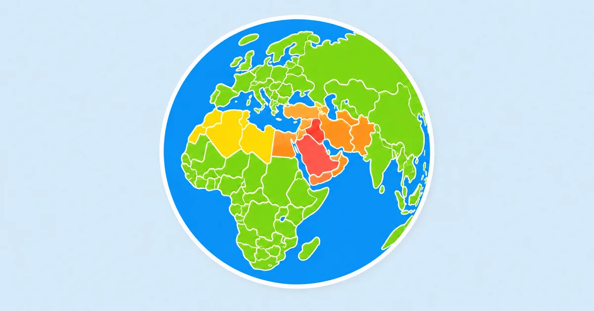
With every international boundary removed, the continents become continuous landmasses. Read latitude, coast direction, and distance from major seas before estimating where a country begins and ends.
- Use the Mediterranean, Arabian Peninsula, and Indian subcontinent to connect Europe, Africa, and Asia.
- Treat the Andes and the Atlantic coast as the frame for South America.
- Use island markers to keep the Caribbean, Pacific, and compact European countries in play.
Where Countries of the World: No Outlines becomes difficult
Central Europe, West Africa, and mainland Southeast Asia contain dense chains of neighbors. A correct location there depends more on relative order than on the size of a country.
A useful practice route for Countries of the World: No Outlines
Sweep one continent at a time, placing coastal countries before landlocked ones. Finish with island groups and microstates, then replay only the continents where your guesses drifted.