How Countries of Africa: No Outlines changes the map
Locate every country on a map of Africa with the internal border outlines hidden. Click the correct area for each prompt. Choose Pin to answer on the map, Type to name the prompted place, or Free Type to recall every place in any order.
Geographic clues for Countries of Africa: No Outlines
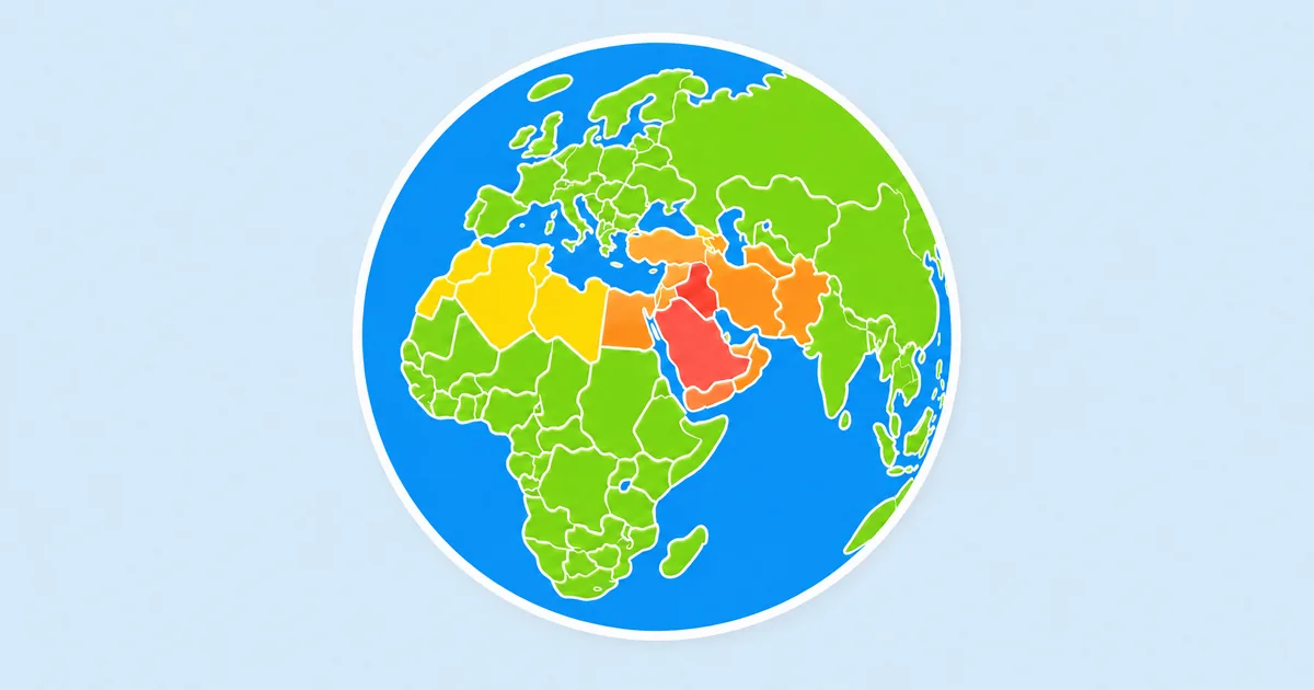
Africa's outer silhouette is strong, but its interior offers few visible divisions. The Mediterranean coast, the Horn, the Gulf of Guinea, and the taper toward the Cape provide the main coordinate system.
- Follow the northern coast from Morocco toward Egypt before moving into the Sahel.
- Use the Horn of Africa and the Great Lakes to orient the east.
- Separate the broad Congo Basin from the narrower countries along the Atlantic coast.
Where Countries of Africa: No Outlines becomes difficult
Landlocked countries across the Sahel and Central Africa can occupy similar-looking positions when borders vanish. The order of their neighbors and their distance from the equator become decisive.
A useful practice route for Countries of Africa: No Outlines
Trace the coast clockwise, then fill inward by region: north, west, central, east, and south. This turns an empty interior into several manageable geographic bands.