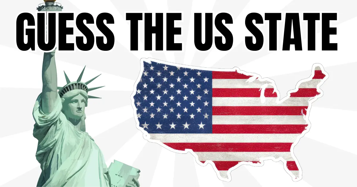
50 US states map quiz overview
The 50 US states map quiz asks you to find each state directly on a map of the United States. It focuses on state location, borders, regional patterns, and the difference between large western states, compact eastern states, and smaller states along the coast.
What makes US states different from country maps
State borders often follow a mix of rivers, coastlines, historical boundaries, and straight survey lines. That makes the map feel different from a world country quiz: some states are large and geometric, while others are small, irregular, or packed closely together.
What you will practice
- Identify all 50 states by position on the US map
- Separate similar-looking states in the Midwest, South, and Northeast
- Build regional memory for the West, South, Midwest, Northeast, Alaska, and Hawaii
Study tips
Start with broad regions before trying to memorize every state. The West has large states and straight borders, the Northeast is compact, the South has several coastal and inland patterns, and the Midwest is easier when you use the Great Lakes and major rivers as anchors.
Alaska and Hawaii are special cases because they sit away from the contiguous United States. Treat them as separate visual anchors rather than trying to compare their scale directly with mainland states.
Common mistakes
Players often recognize California, Texas, Florida, and New York quickly but lose time around New England, the central plains, or states with similar rectangular shapes. Repeating those clusters is the fastest way to improve.
Timed and untimed practice
Use untimed rounds while learning the regional layout. Once you can place most states without scanning the whole map, turn on the timer to build faster recall.