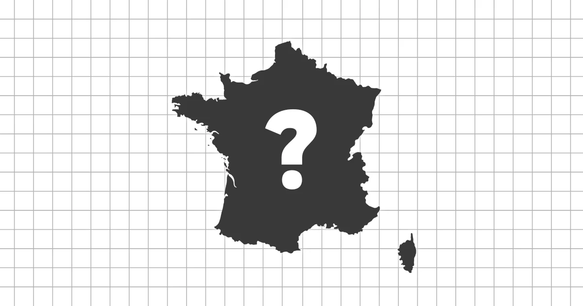
France regions map quiz overview
The France regions map quiz asks you to find the regions of France directly on the map. It focuses on mainland regional layout, coastal anchors, border regions, and the island region of Corsica.
What makes France regions different
France's regions combine large inland areas, coastal regions, mountain borders, and a separate island. The map becomes easier when you connect each region to a coastline, border, river basin, or major city area.
What you will practice
- Identify the regions of France by position
- Separate neighboring regions in the center and east
- Use coastlines, borders, and Corsica as visual anchors
Study tips
Start with clear anchors: Ile-de-France around Paris, Brittany in the northwest, Normandy along the Channel, Nouvelle-Aquitaine in the southwest, Provence-Alpes-Cote d'Azur on the Mediterranean, and Corsica in the sea.
After the coastal regions feel familiar, practice the central and eastern regions together. They are easier when you relate them to neighboring countries and mountain areas.
Common mistakes
Players often confuse Centre-Val de Loire, Bourgogne-Franche-Comte, and Grand Est, or lose time around the south-central regions. Repeating those middle clusters makes the whole map faster.
Timed and untimed practice
Use untimed rounds to build the regional framework. Timed rounds are useful once you can place the coastal and border regions without scanning the entire map.