United Kingdom region shape quiz: recognise the outlines
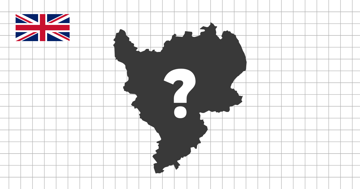
The United Kingdom region shape quiz asks you to identify 12 regional outlines without a labelled map. The collection contains the nine English regions together with Scotland, Wales, and Northern Ireland. It is deliberately different from a location quiz: instead of using a region's place beside London or a coastline on a full map, you learn to notice its own proportion, edges, and islands.
Why UK regional silhouettes are varied
The set combines three very different kinds of outline. Scotland is the large northern area of Great Britain and includes island groups, so its silhouette is much more complex than a single mainland shape. Wales is a western, coast-shaped country with a recognisable north-to-south profile. Northern Ireland is separated from Great Britain by the Irish Sea and has its own compact outline. The English regions range from large coastal areas to small, dense London.
These are not twelve equal-sized shapes. That is useful: size and position-free geometry become clues, but they should be used together with the direction of the coast and the overall balance of each silhouette.
Distinctive shapes to learn first
- Scotland is the northern outline with a deeply indented coast and associated islands.
- Wales is a western shape with a long Irish Sea coast and a narrower northern section.
- South West is the long south-western English peninsula, reaching toward Cornwall.
- East of England projects eastward from the main body of England.
- London is far more compact than the regions around it.
Compare similar English regions
The Midlands are a good comparison exercise. East Midlands and West Midlands are inland neighbours, but neither has the long peninsula of South West or the broad east-facing coast of East of England. North East and North West both sit in northern England; compare their width, coast direction, and how their southern boundaries meet the central regions. Yorkshire and The Humber is also northern and eastern, so it is worth studying beside North East rather than in isolation.
South East can be confused with East of England because both are on the eastern side of the country. The South East has a longer southern and Channel-facing edge around London, while East of England extends north-eastward. Revisit the map quiz whenever a shape feels abstract, then return here to test whether the outline alone is enough.
Build shape memory, then test recall
Start with the most recognisable silhouettes: Scotland, Wales, Northern Ireland, South West, and London. Next compare pairs of neighbouring English regions. Multiple-choice rounds are useful for noticing differences quickly; typing rounds are a stronger final check because you must recall the name from the outline alone. This sequence connects UK regional geography with visual memory instead of relying on labels.