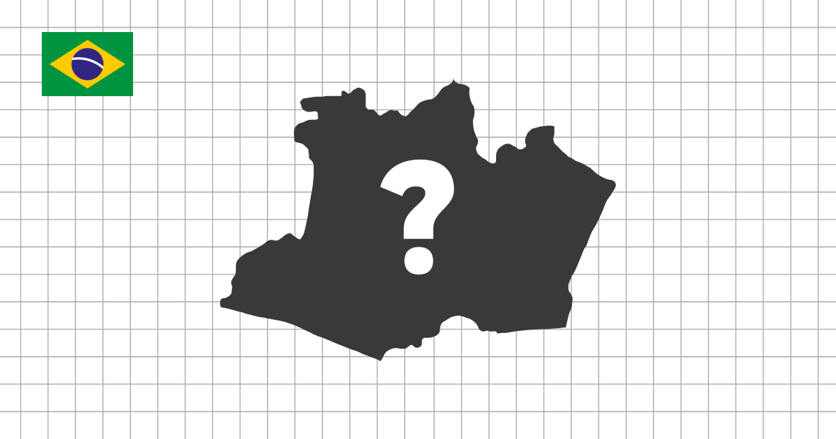
Brazil state shape quiz
Identify all 26 Brazilian states and the Federal District from isolated silhouettes. Because every outline is enlarged to fit the question area, success depends on coastlines, borders, proportions, and distinctive corners rather than apparent size.
Recognize the strongest silhouettes first
Rio Grande do Sul has a broad southern outline, while Bahia combines a long Atlantic coast with a large inland body. Acre is compact at Brazil's western edge, and the elongated coastal forms of Espírito Santo and Alagoas offer useful visual clues. The Federal District is tiny geographically but appears enlarged like every other answer.
Compare the Amazonian states
Amazonas, Pará, Mato Grosso, and Rondônia are large, irregular shapes that can be confused without a map. Amazonas spreads widely from west to east, Pará has a complex northern coastline and river-mouth area, and Mato Grosso is landlocked. Use the map quiz to learn their neighbors before returning to silhouette practice.
Study the northeastern coast in groups
Ceará, Rio Grande do Norte, Paraíba, Pernambuco, Alagoas, Sergipe, and Bahia all touch the Atlantic, but their coastal direction and inland width differ. Compare two or three neighboring states in consecutive rounds rather than trying to memorize nine northeastern outlines at once.
Do not rely on displayed scale
A small state such as Sergipe can fill the same screen area as Amazonas. Look at the width-to-height ratio, the location of the coastline, pointed extensions, and changes in border direction. Naming two visible features before answering creates more durable visual memory.
Combine shape and position
- Learn coastal states before difficult landlocked silhouettes
- Compare Mato Grosso with Mato Grosso do Sul
- Separate Rio Grande do Norte from Rio Grande do Sul by outline, not name
- Return to the map quiz whenever a border shape lacks geographic context