Refill Brazil’s state map
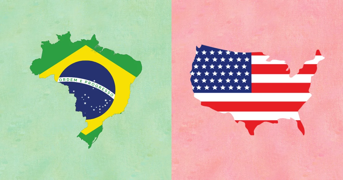
The game hides a changing selection from Brazil’s 26 states and Federal District. National borders stay fixed, but selected units match the background until you type their names correctly.
Think in Brazil’s five regions
North, Northeast, Central-West, Southeast, and South provide a much better search system than memorizing 27 isolated shapes. First locate the blank’s macro-region, then compare its neighbors and access to the coast.
Strong visual anchors
- Amazonas and Pará organize much of the north.
- Bahia helps connect the long northeast coast to the interior.
- Minas Gerais, São Paulo, Rio de Janeiro, and Espírito Santo form a crucial southeast cluster.
Why this format works for Brazil
Large interior borders can look familiar without producing the name. Random omissions reverse that habit: you must notice what is absent, retrieve it, and place it within a regional network.