How States of Brazil: No Outlines changes the map
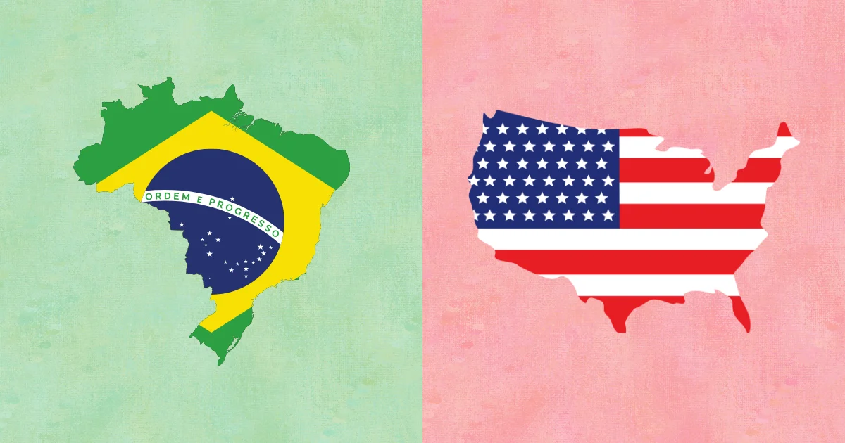
Locate every state on a map of Brazil with the internal border outlines hidden. Click the correct area for each prompt. Choose Pin to answer on the map, Type to name the prompted place, or Free Type to recall every place in any order.
Geographic clues for States of Brazil: No Outlines
Brazil's states span the Amazon basin, the dry northeast, the central plateau, and a crowded southeastern coast. River position, coastline direction, and macroregions become essential when state borders vanish.
- Use Amazonas and Pará to orient the vast north.
- Place Mato Grosso and Goiás around the country's center.
- Anchor the southeast with São Paulo, Minas Gerais, Rio de Janeiro, and Espírito Santo.
Where States of Brazil: No Outlines becomes difficult
The northeastern coastal states form a tight sequence, while the small southeastern states sit beside much larger interiors. The Federal District is nearly invisible without zoom.
A useful practice route for States of Brazil: No Outlines
Learn the five Brazilian macroregions, place their largest states, and then fill each regional cluster. Save the northeast coast and Federal District for a close-up pass.