How France Regions: No Outlines changes the map
Locate every region on a map of France with the regional border outlines hidden. Click the correct area for each prompt. Choose Pin to answer on the map, Type to name the prompted place, or Free Type to recall every place in any order.
Geographic clues for France Regions: No Outlines
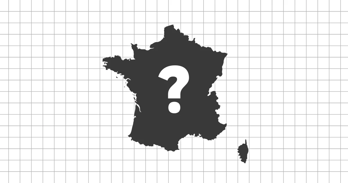
France's regional map combines a recognizable mainland hexagon with Corsica and overseas regions. Coasts, mountain edges, major river basins, and inset positions replace the regional boundaries.
- Use Brittany and Normandy along the Channel and Atlantic coasts.
- Place Occitanie and Provence-Alpes-Côte d’Azur along the Mediterranean.
- Locate Île-de-France near the center before arranging its surrounding regions.
Where France Regions: No Outlines becomes difficult
Mainland regions around the center have fewer coastline clues, while the overseas regions appear in separate insets. Grand Est and Bourgogne-Franche-Comté can also be shifted along the eastern side.
A useful practice route for France Regions: No Outlines
Circle mainland France by coast and border, solve the central regions next, and make a final independent pass through Corsica and the overseas insets.