World territories and regions map quiz overview
This map quiz asks you to locate 53 territories and regions around the world. The selection covers geographic entries with ISO 3166-1 alpha-2 codes that are outside this site's 197-country quiz, including overseas territories, special administrative regions, island areas, and Antarctica.
What this quiz covers
The 53 entries do not all share the same political or constitutional status. They are grouped here as a practical set for learning world geography; inclusion in the quiz does not make a statement about sovereignty, recognition, or territorial claims.
How the map works
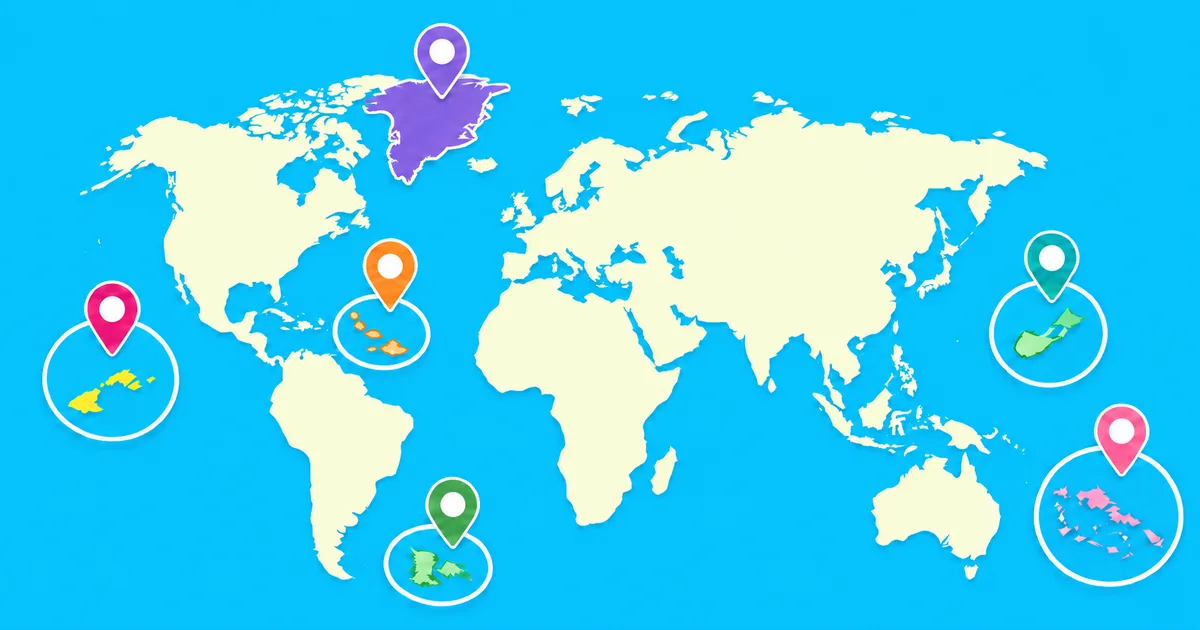
A name is shown for each question, and your task is to select its location on the world map. All 53 targets have visible markers so that very small islands and remote groups can be selected without requiring an unrealistically precise tap.
What you will practice
- Locating territories and regions in relation to nearby continents and countries
- Recognizing island groups across the Atlantic, Pacific, Indian, Arctic, and Southern oceans
- Distinguishing places with similar names or positions
Tips for learning small and remote places
Begin with a nearby continent or a well-known island as your anchor. Then learn places in regional clusters, such as the Caribbean, the North Atlantic, the Indian Ocean, and the Pacific. This is usually easier than memorizing all 53 locations as one list.
Why this quiz is useful
Standard country quizzes often leave these locations out, even though they appear in atlases, news, travel information, and geographic data. Practicing them separately helps build a more complete and precise understanding of the world map.