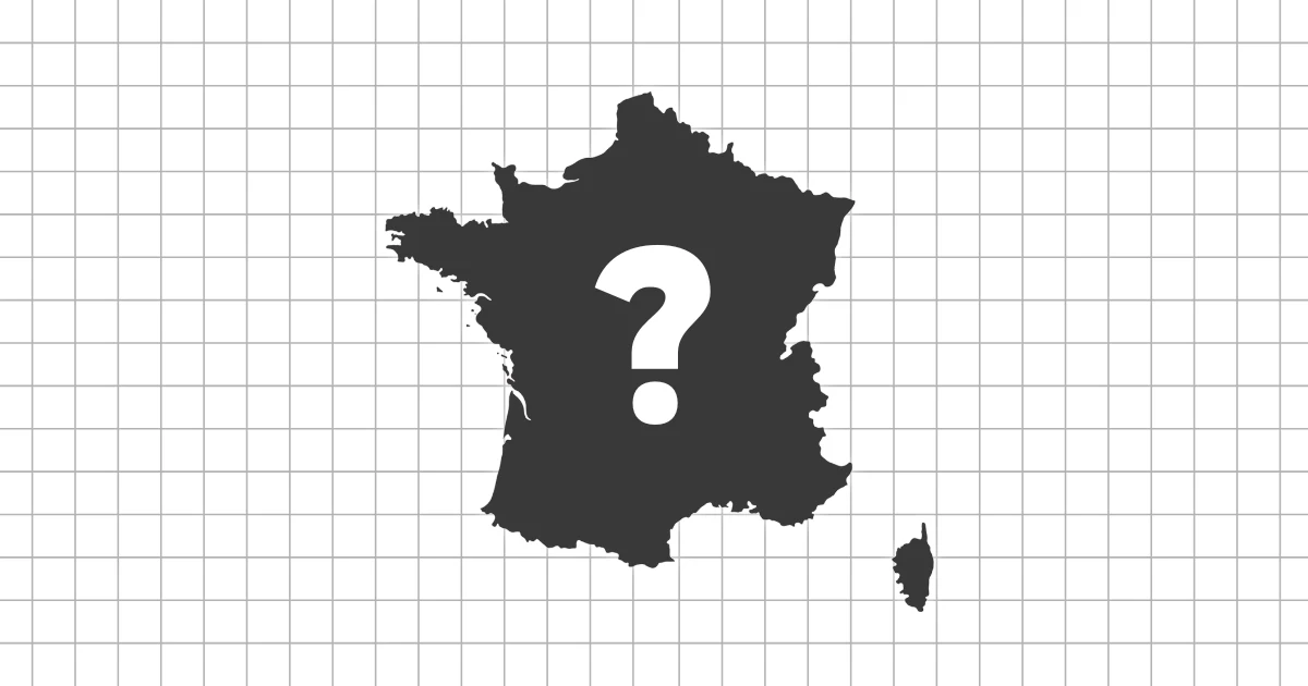
Country size overview
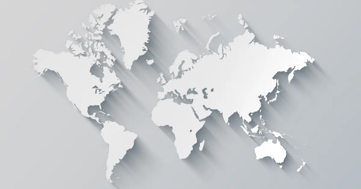
When you look at a world map, certain countries appear enormous while others seem surprisingly small. Much of this impression comes from how maps are drawn rather than actual land area.
The most common world maps use the Mercator projection, which stretches regions closer to the poles and shrinks those near the equator, reshaping our sense of scale.
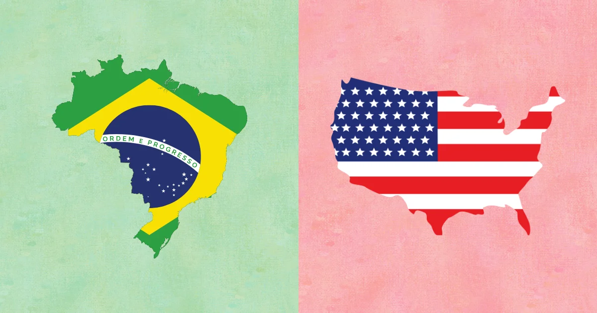
Comparing size beyond the map
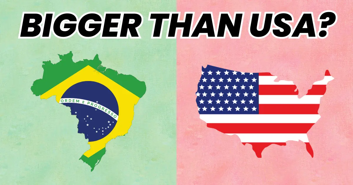
This quiz challenges that visual bias by focusing on real land area rather than map appearance. Each question asks you to identify a country that is objectively larger than a familiar reference nation.
Some comparisons confirm what you already expect, while others reveal size differences that contradict years of looking at distorted maps.
Land area versus total area
This quiz uses land area to keep comparisons clean. That means seas and large inland lakes are not counted in the same way as land.
Focusing on land area makes the answers more consistent across different sources.
A simple rule with tricky results
The rules are consistent throughout the quiz. For each question, only one option has a larger land area than the reference country, making accuracy depend on true size rather than perception.
- No population figures or economic data
- No map tricks or visual scaling
- Just land area compared country by country
This structure makes each comparison straightforward in theory, but surprisingly challenging in practice.
Why projection bias is so strong
Most people learned geography from a rectangular world map, so the Mercator distortion becomes your default mental image. The farther a country is from the equator, the more it looks inflated.
This quiz retrains that mental image by repeating accurate size comparisons until they feel natural.
What you will notice
- High-latitude countries often appear larger than they are
- Long, narrow countries can cover more land than expected
- Some well-known nations are smaller than their global influence suggests
- Africa and South America contain several underappreciated land giants
These patterns help explain why size-based assumptions are so easy to get wrong.
A practical tip for size questions
When you are unsure, compare latitude first. If one country sits much closer to the poles, its map appearance is likely exaggerated.
Then compare coastline length and overall shape. Long coastlines do not always mean large land area.
Test your sense of scale
This quiz is ideal for anyone who enjoys geography facts, map trivia, or discovering how reality differs from visual impressions.
Start the quiz and see how accurately you can judge the true size of countries once map distortions are taken out of the equation.